What Mississauga is known for
Mississauga is Ontario's third-largest city and the second-largest in the Greater Toronto Area. Situated on the northwestern shore of Lake Ontario where the Credit River meets the lake, it functions primarily as a business and residential suburb of Toronto, though with a population of 717,961 (2021 census) it operates as a significant metropolitan centre. The name comes from an Ojibwe word meaning "those at the great river-mouth"—a reminder that this landscape supported human settlement for over 9,000 years before European contact.
Geography and Setting
The city extends across a sprawling area bordered by Toronto (Etobicoke) to the east, Brampton to the north, Milton to the northwest, and Oakville to the southwest. The Credit River valley remains a notable geographic feature, visible in the landscape and supporting a network of trails and parks. The waterfront forms the southern boundary, with the Lake Ontario shoreline offering beaches, marinas, and recreational access particularly concentrated in the Port Credit neighbourhood at the river mouth.
Indigenous and Colonial History
Archaeological evidence shows the Credit River valley supported human settlement for over 9,000 years. During the Archaic and Woodland periods, Indigenous populations developed pottery, semi-permanent villages, and agriculture based on corn, beans, squash, and sunflowers. The Haudenosaunee Confederacy moved into the region during the 1600s—the period of the Beaver Wars—displacing earlier groups. The Anishinaabe Ojibwe subsequently settled in the Credit River valley and became known as the Credit River Mississaugas.
European traders met annually with local bands at the river mouth from the 17th century onwards, creating a sustained colonial contact zone. The rivers functioned as vital transportation routes supporting fishing, hunting, and spiritual practices central to Indigenous ways of life. More than two centuries of colonial and post-colonial development followed, transforming the landscape into the urban and suburban form visible today.
Economy and Daily Life
Modern Mississauga functions as a corporate and logistics hub within the Greater Toronto Area. Kia Canada maintains its Canadian headquarters here, employing approximately 180 people and selling nearly 80,000 vehicles annually across the country. The city's economy centres on business services, technology, and distribution rather than tourism.
The city is notably diverse culturally. Heritage Mississauga organises walking tours, exhibits, and community celebrations reflecting Polish, Italian, Goan, Black, and Indigenous heritage, though specific dates and current programming should be confirmed locally. Sauga Culture maintains three heritage museums—Benares Historic House, Bradley Museum, and Leslie Log House—all typically open to the public free of charge.
Waterfront and Public Spaces
The Mississauga section of the Waterfront Trail runs continuously past 22 parks, the Bradley Museum, and Rattray Marsh, one of the few remaining wetlands along Lake Ontario. Port Credit, at the Credit River mouth, offers a marina, lakefront promenade with a lighthouse, and dining options along Lakeshore Road. The Credit Valley Trail connects parks and public spaces along the river.
Mississauga Celebration Square functions as the city's main public gathering space and event venue, hosting free year-round programmes and festivals including the Mississauga Latin Festival, which marked its 17th year in 2025. The Art Gallery of Mississauga provides cultural programming. The Streetsville Bread and Honey Festival, one of the city's longest-running summer traditions, takes place in the Streetsville neighbourhood, though exact dates should be confirmed locally.
Transport and Access
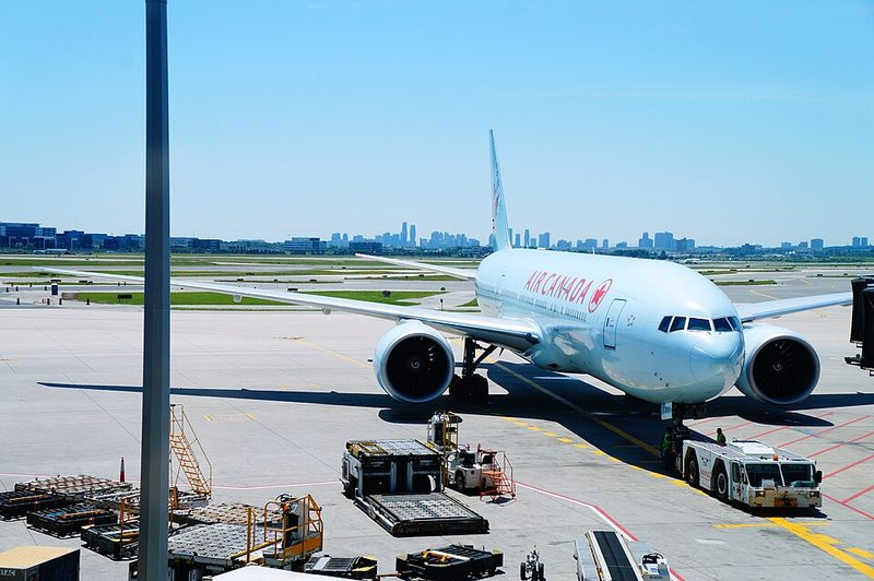
The city is directly accessible by road from Toronto and surrounding municipalities in the Greater Toronto Area. Regional public transit operates, though specific routes and schedules should be verified with local transit authorities. The city's sprawl means access to a car is advantageous for independent travel, as is typical across much of the GTA. Visitors arriving by air typically use Toronto Pearson International Airport, which is located within Mississauga's boundaries.
Practical Information
Mississauga operates on Eastern Time and experiences a full four-season climate typical of southern Ontario. Visitors should check current weather conditions before travel and plan for seasonal variation. Canada has no country-level travel restrictions from the UK or US; travellers should consult current official guidance from the UK Foreign, Commonwealth & Development Office and US State Department for up-to-date conditions. Accommodation and dining information is best obtained from current travel platforms and local sources.
Square One Shopping Centre
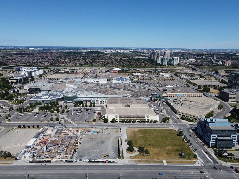
Square One Shopping Centre, Canada's second-largest mall, occupies the heart of Mississauga's downtown at 100 City Centre Drive. With over 360 stores across 2.2 million square feet, it serves as both major retail destination and de facto city centre for what developed primarily as a post-war suburb.
The complex opened in 1973 and has undergone significant expansion, most recently between 2017 and 2020. The retail mix spans mass-market chains to luxury retailers including Holt Renfrew and Sporting Life, with major anchors including Hudson's Bay, Simons, Walmart, and Best Buy. The food hall and dining areas contain approximately 50 options, whilst a Cineplex cinema offers VIP and IMAX screens.
Square One functions as the central hub for MiWay bus services, with an indoor terminal connecting routes across Mississauga and regional GO Transit links to Toronto. Over 5,500 parking spaces are available, with the first three hours free with validation. A Tourism Mississauga desk near the main entrance provides visitor information and services in multiple languages, particularly for international visitors arriving via nearby Toronto Pearson Airport.
Read the full Square One Shopping Centre guide
Sources: Square One Shopping Centre - Wikipedia • Tourism Information - Square One Shopping Centre • Square One Shopping Centre - Visit Mississauga
Carassauga Festival
Carassauga, Ontario's largest multi-cultural festival, has operated in Mississauga since 1986. The event typically takes place over the May long weekend, transforming multiple venues across the city into pavilions representing different cultural communities. Between 15 and 25 communities typically participate, each hosting traditional food, performances, crafts, and cultural displays.
The festival operates on a pavilion model where attendees purchase a passport providing access to multiple venues. Free shuttle buses connect major pavilion clusters across Mississauga's spread-out geography. Represented cultures include communities from South Asia, East Asia, the Caribbean, Latin America, Europe, the Middle East, Africa, and Indigenous groups. Each pavilion is organized by volunteers from the respective community, giving the event a grassroots character.
The festival operates Friday evening through Sunday afternoon, with passport prices varying by day and purchase timing. Visitors planning to visit multiple pavilions should expect to spend several hours accounting for transit time. Current dates, prices, and shuttle schedules are available through the official Carassauga website.
Read the full Carassauga Festival guide
Sources: Carassauga Festival of Cultures - Official Website • Carassauga Festival - Visit Mississauga • Hours & Locations - Carassauga
Toronto Pearson Airport Connections
Toronto Pearson International Airport sits within Mississauga's boundaries in the northeast corner of the city, though it operates under federal authority rather than municipal control. The airport handles over 50 million passengers annually and functions as Canada's busiest airport and primary international gateway for the Greater Toronto Area.
Ground transportation to Mississauga includes MiWay bus routes 7 and 100, connecting to the city centre at Square One in 30 to 50 minutes depending on traffic. Taxis, ride-sharing, and rental cars provide more direct connections. The Union Pearson Express rail link serves downtown Toronto but does not stop in Mississauga. Highway 401 and 427 provide road access, though peak-period congestion can affect journey times significantly.
The airport district contains multiple hotels and services catering to travellers in transit. Many international visitors base themselves in Mississauga for convenience and cost, though the city offers limited traditional tourist attractions compared to Toronto's downtown core.
Sources: Toronto Pearson International Airport • Is Toronto Pearson the Most Important Airport in Canada? - Modern Mississauga • Making the Connections that Matter - ACI World Insights
Port Credit Waterfront
Port Credit occupies a distinctive position within Mississauga as one of the few neighbourhoods with pedestrian-scale character and waterfront access. Located where the Credit River meets Lake Ontario, this former shipping port retains traces of its pre-amalgamation history as an independent settlement, visible in its walkable street pattern and traditional commercial core along Lakeshore Road East.
The lakefront promenade provides paved walking and cycling paths along the shore, connecting to lakefront parks including J.C. Saddington Park. The Port Credit Harbour Marina serves recreational boating, functioning as a focal point during summer months. Lakeshore Road East contains approximately one kilometre of restaurants, cafes, independent shops, and the contemporary Port Credit Library completed in 2009.
Port Credit is accessible via MiWay bus routes and GO Transit's Lakeshore West rail line, which includes a Port Credit station. Paid parking is available in municipal lots. The waterfront connects to the broader Great Lakes Waterfront Trail system. The area functions primarily as a neighbourhood dining and recreation destination, particularly busy on summer weekends, rather than a major tourist attraction.
Sources: Port Credit - Wikipedia • Port Credit Neighbourhood Guide - Life West Real Estate
Mississauga Waterfront Trail
The Mississauga section of the Great Lakes Waterfront Trail extends approximately 22 kilometres along Lake Ontario's shore, providing continuous multi-use path access through 22 parks from Etobicoke to Oakville. The trail serves primarily as recreational and active transportation infrastructure for local residents, with cyclists, runners, and walkers using it year-round, though winter use declines due to exposed lakefront conditions.
The route passes through varied environments including Port Credit's waterfront core, residential areas, and Rattray Marsh, one of the few remaining coastal wetlands on Lake Ontario's north shore. Key access points include Marie Curtis Park, J.C. Saddington Park in Port Credit (with parking and washrooms), and Lakefront Promenade Park. The Bradley Museum, a heritage farmstead along the trail, operates with limited hours.
Trail quality varies by section, with some portions featuring wide asphalt paths and clear wayfinding, whilst others narrow or route briefly onto roads. The trail connects to the broader regional system extending into Toronto and westward toward Burlington. Current conditions and closures can be checked through the City of Mississauga website.
Sources: Mississauga - Great Lakes Waterfront Trail • Port Credit Parks and Trails - Ontario Hiking