What Seattle is known for
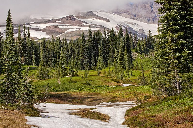
Seattle sits on a narrow strip of land between Puget Sound to the west and Lake Washington to the east, a geography that shapes how the city feels and moves. Home to nearly 800,000 people, this Pacific Northwest city has evolved from timber and fishing origins through aerospace manufacturing to become a global technology centre. The climate brings frequent light rain rather than heavy downpours—winters are mild but grey, summers cool and brief. On clear days the Cascade Range dominates the eastern horizon, a reminder that wilderness lies close to urban infrastructure.
Arrival and First Impressions
Seattle-Tacoma International Airport serves as the regional hub. The waterfront remains working water—container ships, ferries, and fishing vessels operate alongside tourist traffic. Hills punctuate the landscape, creating elevation changes that reveal new vistas within short walking distances. The Sound itself is visible from many parts of the city, and ferry traffic moves constantly between Seattle and nearby communities.
Pike Place Market, established by city ordinance in August 1907, functions as both essential public infrastructure and visitor attraction. The market allows farmers and craftspeople to sell directly to the public, a model that has operated continuously for over a century. The original Starbucks location opened here in 1971 as a coffee roaster, decades before the company's transformation into an espresso cafe chain.
Historical Development
The first permanent European settlement dates to 1851, with formal incorporation following in 1869. Indigenous peoples—the Duwamish and other Coast Salish nations—inhabited the region before this period. The city's motto "Alki" comes from a Chinook word meaning "by and by," later adopted as Washington State's motto.
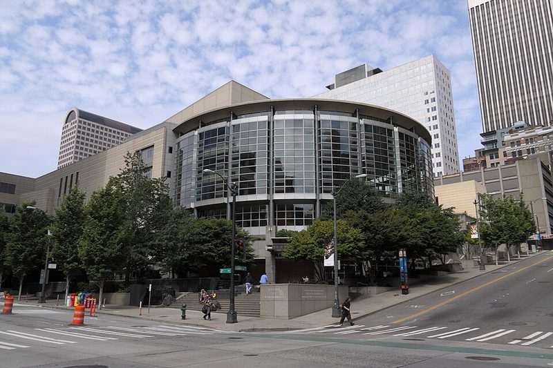
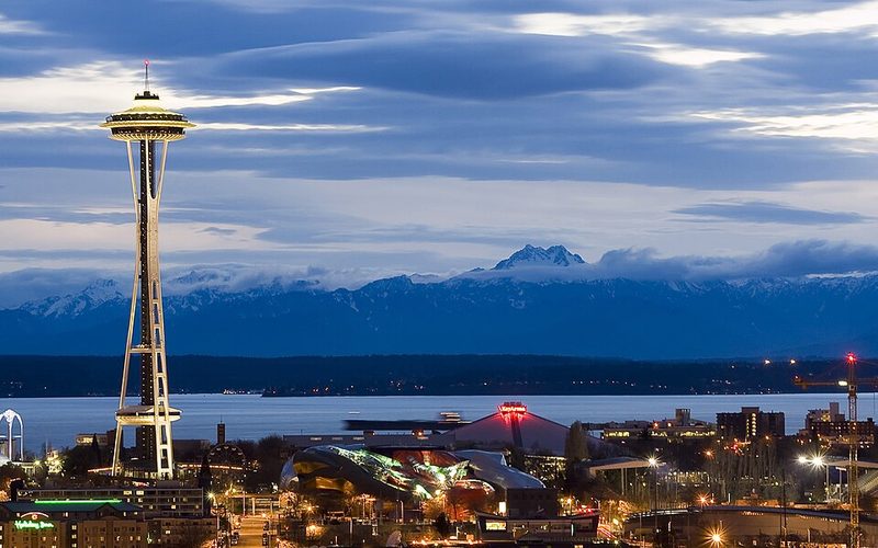
The 1962 World's Fair marked a turning point, bringing infrastructure investment that reshaped the city. The legacy remains visible at Seattle Center, a 74-acre urban park that includes the Space Needle, Museum of Pop Culture (MoPOP), Pacific Science Center, and performance venues for Seattle Opera, Pacific Northwest Ballet, and theatre companies. The civil rights era left documented marks: the Seattle Open Housing Campaign ran from 1959 to 1968, part of a broader timeline of social history preserved in city archives covering the period 1955–2020.
Economic Base and Industry
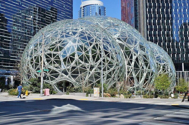
The regional economy generates roughly $300 billion annually, supported by more than two million workers across the greater Seattle area. Three sectors form the industrial foundation: aerospace (Boeing Commercial Airplanes and over 800 related firms employ approximately 17 per cent of all U.S. aerospace workers), information and communications technology (more than 3,000 companies including Microsoft, Amazon, and Expedia; the region ranks fourth globally as a startup hub), and professional, scientific, and technical services. Clean technology and cloud computing benefit from access to the world's largest hydroelectric system, with Washington State ranking first nationally for energy efficiency.
Music and Cultural Heritage
Seattle's musical influence extends back to at least 1918, though the city gained particular prominence during the early 1990s grunge movement. The Museum of Pop Culture maintains exhibitions documenting this period, including Nirvana and Pearl Jam exhibits featuring artifacts, photographs, and oral histories. A bronze statue outside the museum commemorates Soundgarden's Chris Cornell. Venues such as Central Saloon preserve connections to the city's music history, though specific current programming and opening hours should be verified locally.
The Daybreak Star Indian Cultural Center serves the broader community. Libraries, museums, and performing arts venues operate throughout the city, though detailed current offerings are best confirmed through local sources.
Neighbourhood Character and Daily Life
The ethnic composition reflects both American migration patterns and recent immigration: approximately 75 per cent white, 11 per cent Asian, 10 per cent Black, and 1.4 per cent Native American. Street-level experience varies significantly by neighbourhood, shaped by elevation changes and proximity to water. Both Puget Sound and Lake Washington influence how residents and visitors spend time outdoors, with parks and recreation facilities distributed throughout the city.
The presence of water and mountains creates natural visual anchors that make navigation relatively intuitive. Microclimates shift within short distances, particularly where elevation changes intersect with proximity to water bodies.
Getting Around
Link Light Rail connects Seattle-Tacoma International Airport directly to downtown Seattle (Westlake Center), providing convenient access to Pike Place Market and other central attractions. Ferry services connect Seattle to nearby communities and islands, making water transport a practical part of the regional network rather than merely scenic. Public transit systems operate within the city; current timetables and route information should be checked with local transport authorities. Highway access connects to the broader Pacific Northwest. Taxis and rideshare services operate, though specific current providers are best confirmed locally.
Practical Considerations
Visitors should pack for mild temperatures and frequent light rain. The time zone is Pacific (UTC-8 in winter, UTC-7 in summer during daylight saving). The regional economy supports a wide range of visitor services. Most practical details—current public transport timetables, accommodation options, dining recommendations, and specific venue hours—change frequently and are best verified through current local sources and official tourism information.
Weather patterns are predictable enough to plan around: expect persistent cloud cover with occasional clear spells that offer excellent mountain and water views. Rain gear and layers serve better than heavy coats or umbrellas designed for downpours.