
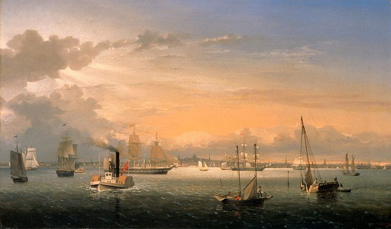
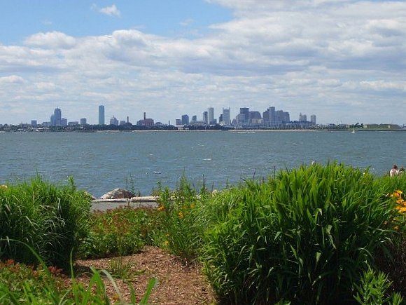
Boston Harbor defines the city's geography and history. The deep-water harbor attracted early European settlement in the 1630s and shaped Boston's development as a major Atlantic port. Today the harbor remains a working waterfront while also serving as recreational space, with 34 islands and peninsulas forming the Boston Harbor Islands National and State Park.
The Harbor Islands
Most of the 34 islands and peninsulas, except Castle Island and Spinnaker Island, make up the Boston Harbor Islands National Recreation Area. The islands range from rustic retreats to family-friendly hubs with various activities. Accessible islands offer hiking trails, sandy beaches, historic lighthouses, and picnic areas. The park also includes two additional peninsulas: Web Memorial Park and World's End.
Public ferries to the islands operate from May through October, departing from Long Wharf in central Boston. Service is seasonal, though the park calendar lists special cruises and opportunities to visit during the off-season. Some islands can be accessed year-round by car or on foot. Park rangers conduct guided tours on popular islands, providing historical and natural history interpretation.
Boston Light, located on Little Brewster Island, is the oldest lighthouse station in the United States. The combination of historic structures, natural beaches, and harbour views makes the islands a distinct destination within easy reach of the city centre.
The Harborwalk
The Boston Harborwalk is a near-continuous, 43-mile linear park along Boston's shoreline. The walking path connects the city's waterfront neighbourhoods to Boston Harbor and to each other. The route stretches from the Neponset River in lower Dorchester to Constitution Beach in East Boston, passing through Charlestown, the North End, Downtown, the Seaport, South Boston, and Dorchester.
The Harborwalk emerged from a 1984 planning initiative that marked one of the most ambitious urban waterfront transformations in American history. For over three decades, Boston Harbor Now has worked with the City of Boston, Massachusetts state agencies, private developers, and waterfront residents to establish the path along 43 of the 47 miles of Boston's shoreline. Logan Airport was excluded from the route after September 11, 2001.
The path provides public access to the waterfront through areas that were historically industrial or restricted. New developments along the waterfront are required to incorporate Harborwalk access, though some proposals have faced opposition from environmental groups arguing that accommodation of the path was inadequate. The Harborwalk connects parks, piers, restaurants, and cultural sites along the water's edge.
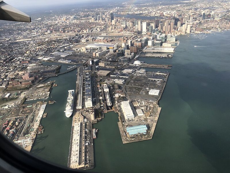
The Seaport District
The Seaport District, part of the South Boston waterfront, has emerged as a distinct neighbourhood through recent development. In May 2010, the city announced plans to develop 1,000 acres on the South Boston Waterfront as an Innovation District, focusing on technology and modern commercial uses. The area features contemporary architecture, restaurants, and cultural venues including the Institute of Contemporary Art.
The Seaport represents modern Boston's relationship with its harbour—no longer primarily industrial or maritime in function, but maintaining the waterfront as an active part of the city. The Evelyn Moakley Bridge connects the Seaport to Downtown Boston. The area contrasts with the historic North End and other older waterfront neighbourhoods, reflecting different periods of development and urban planning approaches.
Experiencing the Waterfront
Visitors can experience Boston's harbour through several modes. Walking the Harborwalk provides continuous waterfront access. Ferries offer transport to the islands and views of the city from the water. Amphibious vehicle tours, mentioned in the main article, combine road and water portions. Long Wharf serves as a departure point for harbour cruises and island ferries, making it a practical starting point for waterfront exploration.
The harbour is visible from many points throughout the city, and its presence shapes daily life and movement patterns in waterfront neighbourhoods. The combination of working port facilities, recreational islands, public walking paths, and residential and commercial development creates a layered waterfront that reflects both historical maritime activity and contemporary urban waterfront planning.
Sources: Boston Harbor Islands National Recreation Area • Boston Harborwalk - Boston Harbor Now • Boston Harborwalk - Wikipedia • Seaport District - Wikipedia