The North Saskatchewan River Valley parks system in Edmonton comprises more than 160 kilometres of maintained pathways and 20 major parks, forming what is claimed to be the longest stretch of connected urban parkland in North America. The river valley defines Edmonton's geography and recreational character, providing year-round outdoor access within city limits. The system extends beyond Edmonton's boundaries, with the River Valley Alliance working to connect trails across six municipalities from Devon to Fort Saskatchewan, creating a planned continuous route exceeding 100 kilometres.
Scale and Geography
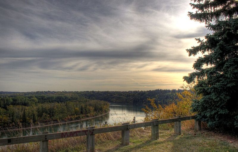
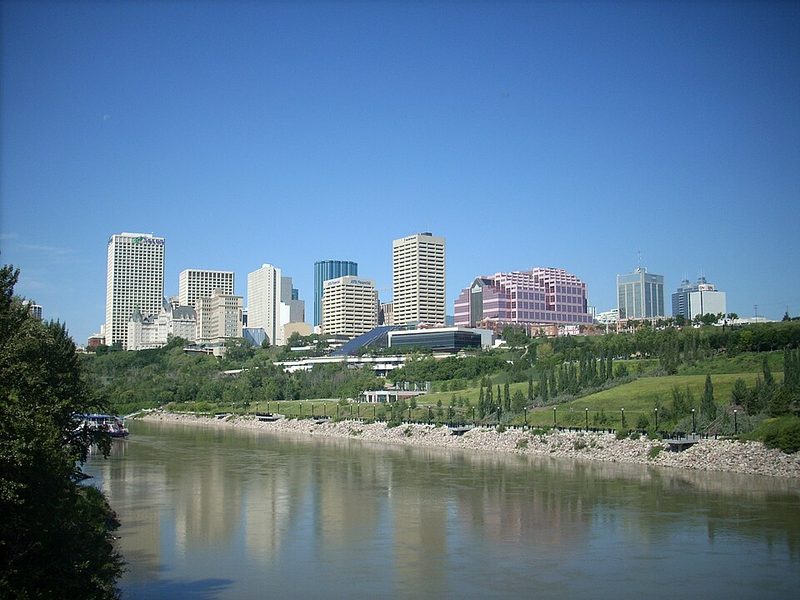
The river valley parkland is often compared to New York City's Central Park in terms of scale—the Edmonton system is 22 times larger. This green corridor follows the North Saskatchewan River as it winds through the city, creating a continuous ribbon of natural space that interrupts the urban grid. The valley's width and depth mean that crossing between the north and south sides of Edmonton requires deliberate routing via bridges, and the valley itself functions as a defining geographical barrier as much as a recreational asset.
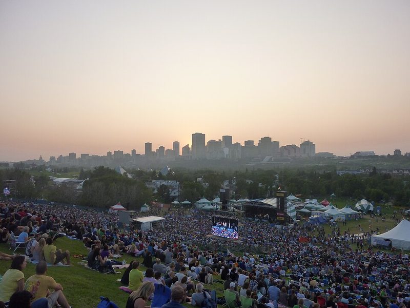
Major parks within the system include William Hawrelak Park, a 68-hectare site in the central-west river valley featuring a 5-hectare lake and open meadows. Hawrelak Park serves as the venue for the annual Heritage Festival and provides one of the main trailhead access points to the valley system. Other significant access points include Terwillegar Park in the southwest, Gold Bar Park to the east, and Hermitage Park in the northeast. These parks function as gateways to the broader trail network while offering their own facilities including baseball fields, dog parks, playgrounds, boat launches, sports fields, and tennis courts.
Trail System and Activities
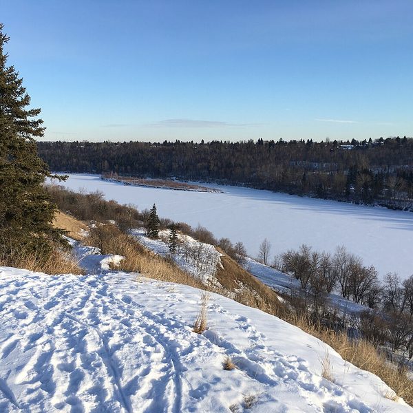
The maintained pathway system accommodates walking, running, cycling, and inline skating. Paved trails receive snow clearing after 2.5 centimetres of accumulation, making the system accessible in winter, though natural surface trails can become icy or muddy in colder months. Winter activities include cross-country skiing on groomed trails, fat-tire biking, snowshoeing, and skating on designated IceWays—maintained ice surfaces that wind through park areas.
The Amisk Waciw Meskanaw trail, approximately 75 per cent complete, is planned to extend 100 kilometres from Devon in the west to Fort Saskatchewan in the east, creating a continuous regional trail connection. This project, coordinated by the River Valley Alliance, links Edmonton's urban valley system with neighbouring municipalities. Trail maps showing slope and grade information are available from the City of Edmonton to support accessibility planning.
Visitor Considerations
The river valley's scale means visitors should plan routes and access points in advance. The system is extensive enough that a single visit cannot cover the entire network. Those interested in experiencing the valley should identify specific parks or trail sections based on their location within the city and available time. The valley offers both short recreational loops and long-distance trail connections suitable for extended cycling or walking.
Wildlife is present throughout the valley system, and visitors should be aware of local fauna including deer, coyotes, and various bird species. The river itself is not used for commercial transport, but recreational boating and paddling are common in suitable conditions. Current trail cautions and closures are posted by the City of Edmonton and should be checked before visits, as seasonal flooding, erosion, or maintenance can affect access to specific sections.
Sources: River Valley Parks - City of Edmonton • North Saskatchewan River valley parks system - Wikipedia • River Valley Alliance