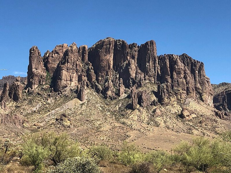
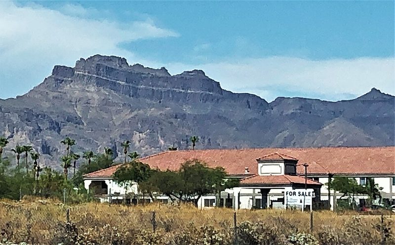
The Superstition Mountains rise sharply from the Sonoran Desert east of Mesa, forming one of the most distinctive landscapes in the Phoenix metropolitan area. Volcanic in origin, the cliffs reach around 600 metres above the surrounding desert floor, and the range lies within the Tonto National Forest. For visitors based in Mesa, this is the most accessible major wilderness destination in the region — the trailheads at Lost Dutchman State Park sit roughly 40 miles from downtown Mesa via US-60 and State Route 88.
Lost Dutchman State Park and the Legend
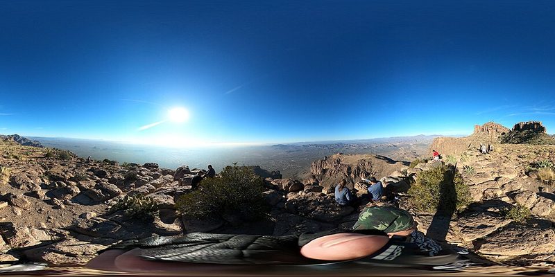
The 320-acre Lost Dutchman State Park takes its name from one of the American Southwest's most persistent legends: the tale of a hidden gold mine somewhere in the Superstition Wilderness, said to have been discovered by a German immigrant (the "Dutchman" of the name) in the nineteenth century. The mine has never been found, and the story has become part of the area's identity. The park itself offers a more concrete draw — a network of hiking trails with direct access into the Wilderness Area. The most demanding route, the Flatiron via Siphon Draw Trail, is a serious full-day undertaking; Visit Mesa notes it takes approximately five to six hours round trip to summit the Flatiron, rewarding those who complete it with wide views across the desert. Less demanding trails in the same area suit walkers who want Sonoran Desert scenery without a technical climb.
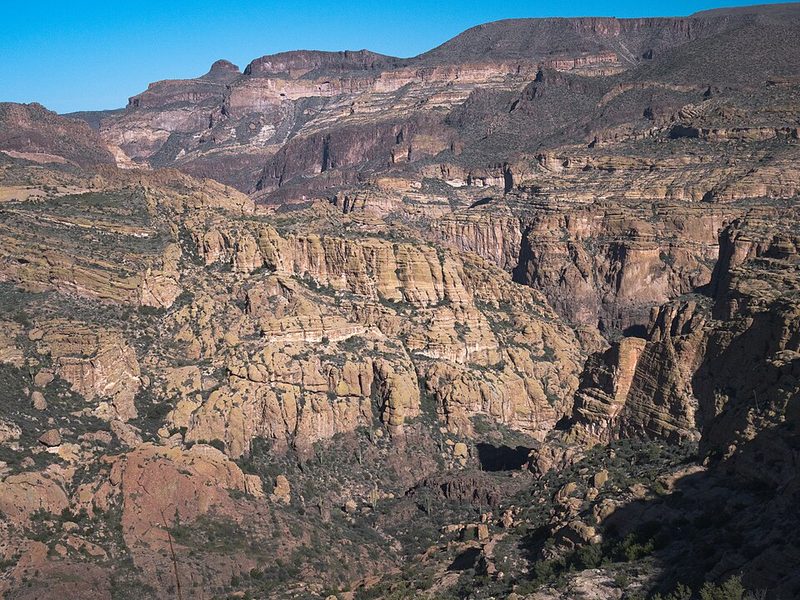
The Apache Trail (State Route 88)
The Apache Trail — officially State Route 88 — begins near Apache Junction, just east of Mesa, and follows a historic route through the Superstition and Goldfield Mountains before reaching Roosevelt Dam. The road originated as a supply route for the construction of Roosevelt Dam, one of the first major reclamation projects in the United States. Theodore Roosevelt himself dedicated the dam and bridge in 1911; the distinctive blue-painted Roosevelt Lake Bridge remains a landmark at the trail's far end. Along the route, travellers pass Canyon Lake, one of four reservoirs formed on the Salt River, and the small settlement of Tortilla Flat — originally built in 1904 as a staging area during dam construction, and still operating as a waypoint for visitors today.
Sections of the Apache Trail are unpaved and narrow, with steep drops. Visitors should check current road conditions before setting out, as sections have been subject to closures following storm damage. The route is not suitable for large vehicles or trailers on the unpaved portions.
Canyon Lake and the Dolly Steamboat
Canyon Lake sits roughly 15 miles from the start of the Apache Trail and is the most accessible of the Salt River lakes. The lake is a popular destination for boating and water recreation. The Dolly Steamboat offers scenic nature cruises on Canyon Lake; current schedules and fares should be confirmed directly with the operator before visiting, as these change seasonally.
Hiking Practicalities
The Superstition Wilderness is serious desert terrain. Summer temperatures in this area can exceed 40°C, and heat-related incidents on the trails are well-documented. Visit Mesa advises hikers to stay on established trails and to be aware of thorned desert plants, including cholla cactus. The cooler months — roughly October through April — are the practical hiking season for most visitors. Carrying sufficient water is essential at any time of year. The trailhead address for Lost Dutchman State Park is 6109 Apache Trail, Apache Junction, AZ 85119. An entry fee applies; current rates should be confirmed with Arizona State Parks before visiting.
Getting There from Mesa
Private vehicle is the practical option for reaching the Superstition Mountains from Mesa. US-60 east from Mesa connects to Apache Junction, from where State Route 88 heads north into the mountains. No regular public transport serves Lost Dutchman State Park or the Apache Trail route.
Frequently Asked Questions
Which transport sources should I check for Mesa?
Use Apache Trail and Superstition Mountain - Visit Mesa, Superstition Mountains - Visit Mesa, Superstition Mountains - Visit Phoenix, The Apache Trail - DesertUSA for current routes, fares and operating changes. WorldTownGuide gives source-backed orientation, not live timetable rows.
Can I use this page as a live timetable for Mesa?
No. Transport routes, seasonal frequencies, engineering works and ferry operations can change. Use the linked operator or timetable sources before travelling.
Sources: Apache Trail and Superstition Mountain - Visit Mesa • Superstition Mountains - Visit Mesa • Superstition Mountains - Visit Phoenix • The Apache Trail - DesertUSA • Apache Trail scenic drive - Hike Bike Travel