


Arriving in Mumbai: Stations, Airports and Onward Routes
Mumbai is a major transport gateway with an international airport, multiple long-distance rail termini, a dense suburban rail network, an expanding metro system, and extensive bus coverage. Understanding the arrival landscape before you land or pull into a terminus significantly reduces the friction of the first few hours.
By Air: Chhatrapati Shivaji Maharaj International Airport
Mumbai's main international airport — Chhatrapati Shivaji Maharaj International Airport, sometimes abbreviated as CSIA or referred to by its IATA code BOM — is located in the Andheri area of the western suburbs, approximately 30 kilometres by road from the southern peninsular districts. It is one of the busiest airports in South Asia. Terminal 2 handles most international and premium domestic services; Terminal 1 handles budget domestic carriers.
From the airport, the primary onward options are taxis (prepaid booths inside arrivals provide a fixed-price option), app-based cabs (Uber and Ola operate from the airport), and the metro. The Mumbai Metro Line 1 has a station at Ghatkopar, approximately 5 km from the airport, reachable by road; metro expansion is progressively bringing the network closer to the terminal, so current connection options should be checked against the latest metro map before arrival.
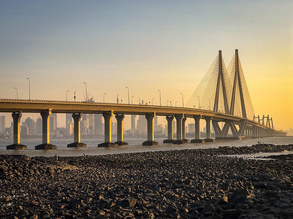
By Train: Long-Distance Arrivals
Mumbai has several major long-distance rail termini. Chhatrapati Shivaji Maharaj Terminus (CSMT, formerly Victoria Terminus) in the Fort area handles services on the Central Railway. Lokmanya Tilak Terminus (LTT) in Kurla handles a significant volume of long-distance trains — particularly services from the north and east of India — and is one of the city's primary arrival points for overnight and inter-city rail passengers. It has eight platforms and parking facilities, and connects to the suburban rail and road network. Bandra Terminus, in the western suburbs, handles long-distance services from the western and north-western directions.
Kurla Junction (station code CLA), adjacent to Lokmanya Tilak Terminus, is one of the busiest suburban interchanges in the city and a key node for onward connections by suburban rail, bus and metro.
The Suburban Rail Network
Mumbai's suburban rail system — operated under Indian Railways and the Mumbai Rail Vikas Corporation — runs on three principal lines: the Western Line (from Churchgate northward), the Central Line (from CSMT eastward and northward), and the Harbour Line. Services run broadly north-south and are the fastest way to travel within the city during most of the day, though peak-hour crowding is extreme. Vidyavihar is a suburban station on the Central Line a short distance from Kurla and Lokmanya Tilak Terminus, and connects into the wider network. Ghatkopar, further east, serves as a key metro interchange as well as a suburban rail stop.
Visitors are strongly advised to download the m-Indicator app before arriving; it provides timetables, route maps and interchange guidance for the suburban rail, metro, and BEST bus network in a single interface.
Bus Services
The BEST (Brihanmumbai Electric Supply and Transport) undertaking operates the primary bus network within Mumbai, covering routes from Colaba in the south to Mira Bhayandar in the north, with services connecting major rail stations, residential areas and commercial districts. BEST bus route maps have been developed in collaboration with the Mumbai Environmental Social Network and are available online. For journeys beyond the city boundary, the NMMT (Navi Mumbai Municipal Transport) service extends to Navi Mumbai, Belapur, Panvel, Karjat and other points in the broader metropolitan region. MSRTC (Maharashtra State Road Transport Corporation) operates intercity coach services from Mumbai to destinations across Maharashtra and beyond; its timetable search is available at msrtcbus.com.
Metro
The Mumbai Metro network has expanded substantially in recent years. Line 1 runs from Versova to Ghatkopar, providing a faster east-west corridor across the northern suburbs than the surface road network. Additional lines are operational or under construction; current route maps should be checked through the official metro authority or the m-Indicator app, as the network is actively expanding.
Practical Decisions
For most visitors arriving at the international airport and heading to southern Mumbai (Colaba, Fort, Byculla), a pre-paid taxi or app cab direct to the destination is the simplest option. For the western suburbs (Bandra, Juhu, Andheri), the road journey is shorter and app cabs are practical. Visitors staying in the Kurla–Ghatkopar corridor have direct metro and suburban rail access from the city's central-eastern transport spine. Ferry services connect parts of Mumbai to destinations including Mandwa and Alibaug across the harbour; these operate from various jetties in the city and should be checked through current operator timetables.
Current timetables, fares and route changes for the suburban rail, metro, BEST bus and intercity services should be confirmed with official operators before travel. The Moovit app provides real-time public transit maps and journey planning for Mumbai across all modes.
Frequently Asked Questions
Which transport sources should I check for Mumbai?
Use Transport in Mumbai - Wikipedia, Mumbai BEST Bus Route Maps - SUM Net India, MSRTC Bus Timetable Search - Routes and Timings Online for current routes, fares and operating changes. WorldTownGuide gives source-backed orientation, not live timetable rows.
Can I use this page as a live timetable for Mumbai?
No. Transport routes, seasonal frequencies, engineering works and ferry operations can change. Use the linked operator or timetable sources before travelling.
Sources: Transport in Mumbai - Wikipedia • Mumbai BEST Bus Route Maps - SUM Net India • MSRTC Bus Timetable Search - Routes and Timings Online