Lake Pontchartrain Causeway
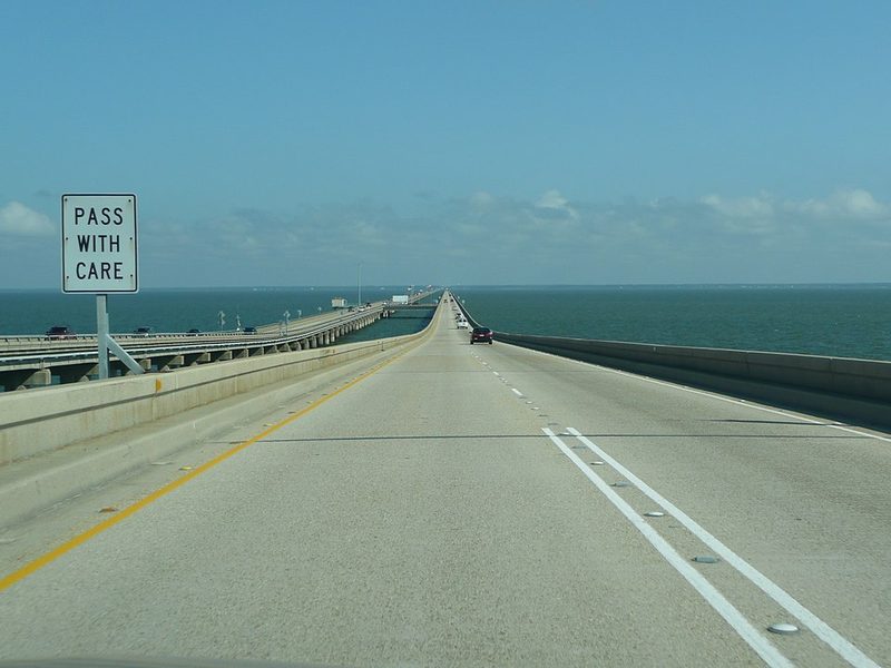
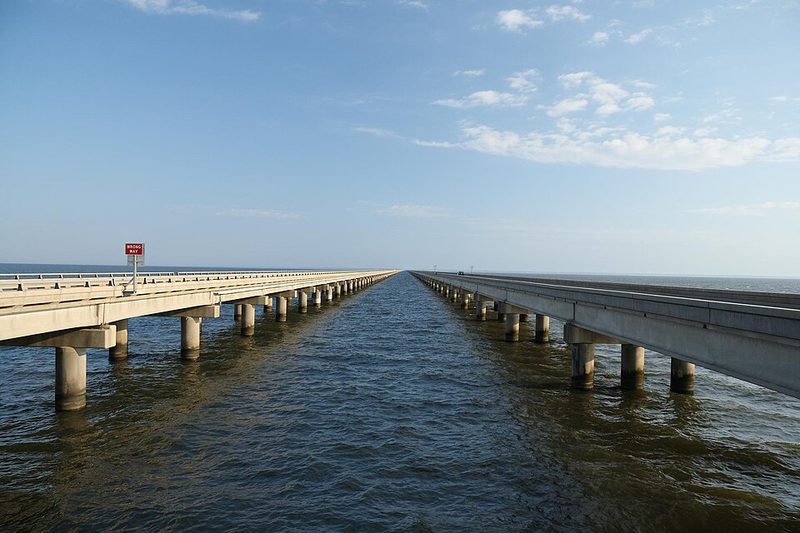
The Lake Pontchartrain Causeway is a pair of parallel bridges that cross Lake Pontchartrain, connecting the southern suburbs of New Orleans — specifically Metairie and the Jefferson Parish area — with Mandeville and the communities of the North Shore. The two spans run roughly 38 kilometres (about 24 miles) across open water, making the Causeway one of the longest bridges over water in the United States and a recognised engineering landmark in its own right.
For visitors, the Causeway is primarily a practical route: it is the most direct road link between New Orleans and the North Shore, and it provides access to communities such as Mandeville, Covington and Madisonville that are often explored as day trips from the city. The drive across the lake takes roughly 30 minutes under normal conditions and offers a striking sense of open water on both sides for much of the crossing — an experience noticeably different from most urban bridge crossings.
The Causeway is a toll road; drivers should be prepared for the toll payment in the appropriate direction. Visitors travelling without a car will not use the Causeway directly, as it is not served by public transport. Those arriving from the North Shore by car will find it the standard route into the metro area from that direction.
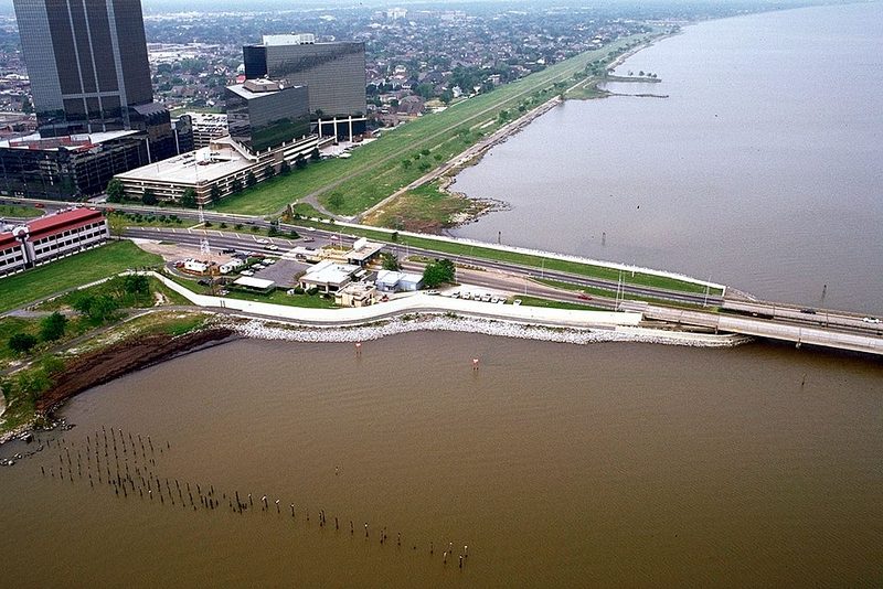
Lake Pontchartrain itself is a large brackish estuary covering roughly 1,630 square kilometres. It defines the northern boundary of the city and has shaped New Orleans geography, drainage and storm-surge vulnerability. The lake is referenced in discussions of the city's hurricane exposure, particularly in the context of Hurricane Katrina in 2005.
Frequently Asked Questions
Which transport sources should I check for New Orleans?
Use New Orleans Then and Now - the Skyline - Inside Adams, Library of Congress, Lake Pontchartrain Causeway - Wikipedia, Lake Pontchartrain - Wikipedia for current routes, fares and operating changes. WorldTownGuide gives source-backed orientation, not live timetable rows.
Can I use this page as a live timetable for New Orleans?
No. Transport routes, seasonal frequencies, engineering works and ferry operations can change. Use the linked operator or timetable sources before travelling.
Sources: New Orleans Then and Now - the Skyline - Inside Adams, Library of Congress • Lake Pontchartrain Causeway - Wikipedia • Lake Pontchartrain - Wikipedia