What Perth is known for
Travel Advisory: Australia is under Level 1: Exercise Normal Precautions according to both US and UK travel advisories. Seasonal bushfire risk applies during spring and summer (October to February). Check current official travel advice before planning your trip.
Perth sits on Australia's far western edge, where the Swan River meets the Indian Ocean and one of the world's most geographically isolated major cities has learned to make itself matter. With over 2.3 million people spread across the metropolitan area, it functions as the engine of Western Australia—a place shaped by waves of boom, bust, and reinvention, yet still carrying the long shadow of the land it was built upon.
Location and Setting
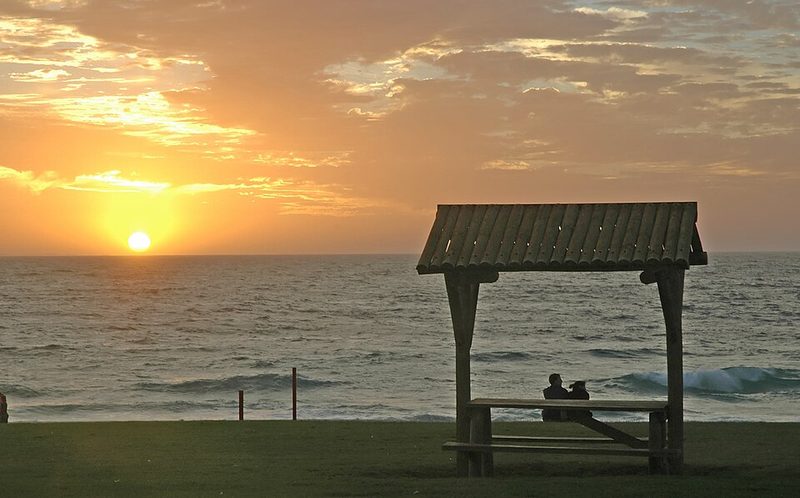
Perth's location defines it. The city sprawls across the Swan Coastal Plain between the Indian Ocean to the west and the Darling Scarp rising inland, giving the landscape a sense of exposure and light. The Swan River itself, known as Derbarl Yerrigan in the Nyoongar language, winds through the metropolitan area and anchors the central business district. The Indian Ocean coastline stretches for over 30 kilometres, with beaches including Cottesloe and Scarborough serving as focal points for swimming, surfing and coastal recreation.
The original European settlement, established in 1829 as the Swan River Colony, grew outward from the river's banks. Fremantle, now a distinct port city approximately 19 kilometres southwest of central Perth, developed as the maritime gateway. Modern Perth has expanded far beyond its founding core, but the river remains a thread connecting older and newer quarters. Visitors often notice the scale of the place—wide streets, substantial sky, and the sense that the city has room to breathe.
Indigenous Foundation and Colonial History
Before any European arrival, this land belonged to the Whadjuk people of the Nyoongar nation, whose connection to the region stretched back over 40,000 years. The Noongar people were semi-nomadic, relying on hunting and gathering, with the Swan River serving as a vital source of fish and a transport route. At the time of colonisation in 1829, the Noongar groups in the Perth area—Mooro, Beeliar, Beeloo, and Weeip—were loosely defined by their relationship to the river and surrounding lands.
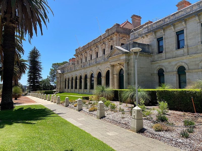
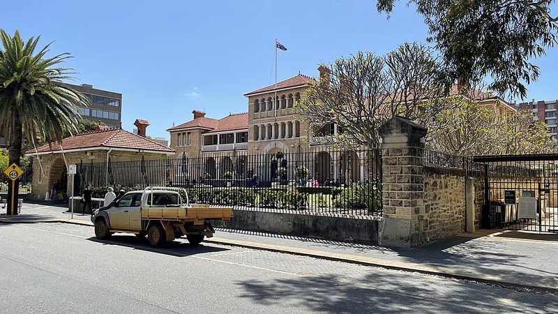
The British settlement marked a sharp break. Early years were difficult; convict labour arrived in the 1850s and became a feature of the colonial economy until 1869. Fremantle Prison was established in 1852 to house convicts and operated continuously until 1991. The city's fortunes shifted dramatically with the discovery of gold in Western Australia's interior in 1885. The gold rush that followed brought wealth, migration, and rapid growth—a boom that reshaped Perth's physical form and financial standing between 1885 and 1901.
This period embedded extraction and resource wealth into the city's identity in ways still visible today. A resources boom in the 1960s and early 1970s brought another surge of investment and change. The decades between 1973 and 1993 saw the city weather periods of uncertainty, scandal, and economic volatility—boom-and-bust cycles that remain part of local memory. Recovery and recession cycles have continued since 1990, reflecting Perth's ongoing dependence on commodity markets and resource extraction.
The Nyoongar name for the city, Boorloo, remains part of local identity and acknowledgement, and the cultural foundation laid by the Whadjuk and Nyoongar peoples is increasingly recognised in public institutions and spaces.
Economy and Daily Life
Perth's economy has historically rested on mining, resources, and extraction. Gold, iron ore, and other minerals drawn from Western Australia's interior have provided the wealth that built and rebuilt the city. This legacy shapes how locals understand their place—connected to vast, distant operations and global commodity markets in ways that feel abstract but are very real in household budgets and job security.
The resources boom also attracted waves of immigration and investment, creating a multicultural city. Museums and galleries preserve local and natural history, offering ways for residents and visitors to engage with the city's past. Public art, including murals and street art, appears in urban spaces, and parks and gardens provide public recreation. The city functions as Western Australia's administrative and commercial hub.
The Isolation Factor
Perth's isolation is real. The nearest major city is Adelaide, roughly 2,700 kilometres away, a distance that shapes how the place feels—self-contained, with its own rhythms and concerns. This geographic fact has influenced everything from supply chains to cultural identity. The Indian Ocean's presence is tangible throughout the city, and the coastline shapes both climate and daily life for residents and visitors.
Getting Around
Perth Airport serves the city and wider region, handling domestic and international flights. The Swan River and port facilities at Fremantle provide maritime connections. Public transport systems including bus services operate throughout the metropolitan area; current routes, schedules and fare information should be checked directly with local providers as these change. Free guided walking tours through iCity offer organised ways to explore the city's geography and development on foot.
Practical Notes
Perth sits at 34 metres above sea level on Australia's Indian Ocean coast, in the Australia/Perth timezone. The city's geographic isolation from other Australian population centres means that planning travel and supply chains differently than for the eastern cities is practical sense. Seasonal bushfire risk applies across Australia during spring and summer (October to February), and visitors should check local advisories before visiting during these months.