Toronto's waterfront stretches along the northwestern shore of Lake Ontario, with the harbour forming a natural deepwater port that shaped the city's development from its earliest days as a trading post. The shoreline has undergone substantial transformation, particularly since the 1970s when the federal government's Harbourfront Project began converting industrial port lands into mixed-use cultural, recreational, and residential zones. This ongoing evolution continues through Waterfront Toronto, a tri-government organization that manages planning and development along the shore.
Queens Quay and the Central Waterfront
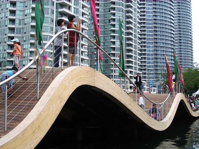
Queens Quay serves as the primary east-west corridor along the central waterfront, running parallel to the shore. Originally a commercial street lined with working piers, it has been rebuilt with dedicated cycling lanes, wider pavements, and public spaces. Queens Quay Terminal, a converted warehouse at the foot of York Street, now houses shops and restaurants. The street's transformation following an international design competition aimed to create a waterfront boulevard rather than the traffic corridor it had been historically.
The Jack Layton Ferry Terminal, located at the foot of Bay Street where it meets Queens Quay, operates passenger ferries to the Toronto Islands. The terminal underwent reconstruction to improve pedestrian access and integrate with Harbour Square Park. Ferry service to the islands has operated since at least the 1880s, though early crossings used horse-drawn barges before steam ferries. The current ferry trip takes 10 to 15 minutes depending on the destination dock, with three landing points on the islands serving different areas.
The Harbour and Port Operations
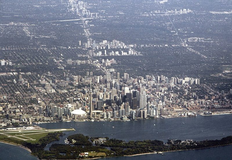
Toronto's harbour remains a functioning commercial port, handling bulk cargo and serving as a distribution point for goods moving through the Great Lakes-St. Lawrence Seaway system. The port's role has shifted from heavy industrial use to a mix of commercial shipping, recreational boating, and ferry operations. In 1938, the Toronto Harbour Commission (predecessor to the current port authority) established ferry service to the newly constructed Toronto Island Airport, initially using a cable ferry system that operated far longer than the planned five-year lifespan.
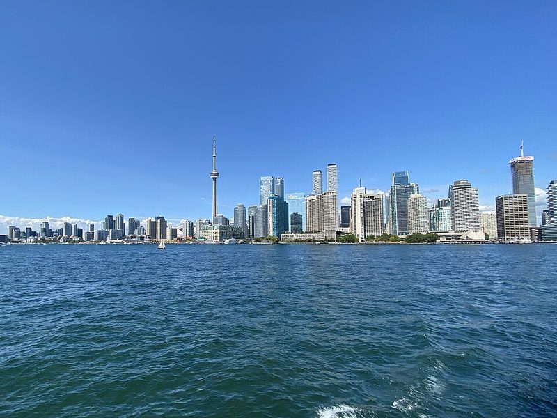
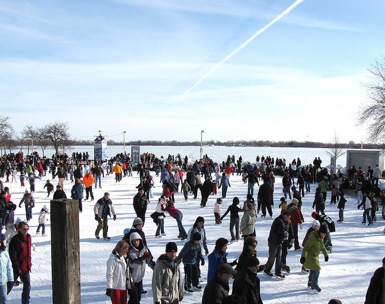
The harbour's protected waters make it suitable for year-round operations, though winter ice can affect ferry schedules. The waterfront geography—relatively straight shoreline with the harbour sheltered by the Toronto Islands—provides both practical shipping advantages and defines how residents and visitors experience the lakefront. The visual relationship between the downtown core and the water remains central to Toronto's identity, with the shoreline visible from many points in the central city.
Trails and Recreational Access
The Martin Goodman Trail, part of the larger Waterfront Trail system, runs 56 kilometres along Toronto's shore, connecting the eastern and western edges of the city. This paved multi-use path passes directly in front of the ferry terminal and provides dedicated space for cyclists and pedestrians. The trail system was designed to connect with the Toronto PATH underground walkway network, though the integration points vary in accessibility and ease of navigation.
The waterfront includes numerous parks, public art installations, and viewing areas. The area immediately around the ferry terminal experiences heavy pedestrian congestion during peak ferry times, particularly on summer weekends when island visitors queue for departures. Cyclists using the Martin Goodman Trail through this section need to navigate around pedestrians who often cross bike lanes without checking for traffic.
Practical Visitor Considerations
The waterfront is accessible by public transit, with several streetcar routes running along Queens Quay and connecting to the broader TTC network. The area functions as both a destination (for ferry access, waterfront dining, or trail use) and a corridor for moving between eastern and western parts of the city. Weather conditions off Lake Ontario can differ noticeably from areas even a few blocks inland—wind speeds are often higher, and temperatures cooler, particularly in spring and autumn.
The ongoing nature of waterfront development means that some areas remain under construction or in planning stages, and access points can change. The central waterfront between Bathurst Street and Parliament Street offers the most developed public amenities, while areas farther east and west vary in their level of transformation from former industrial uses. Visitors seeking specific facilities or destinations should verify current conditions before arrival, as the waterfront continues to evolve as a public space.
Sources: Waterfront Toronto - Queens Quay West • Waterfront Toronto - Jack Layton Ferry Terminal • Toronto Waterfront - Wikipedia • Toronto Island Ferries - Wikipedia • Ferry Schedule & Information - Toronto Islands